Arı Burnu
Shell Green
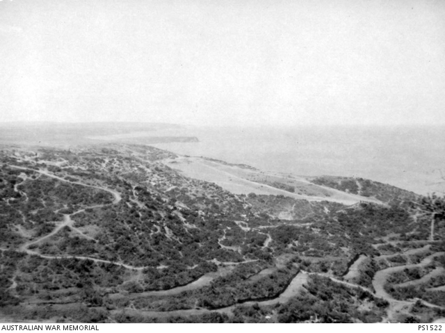
Shell Green, Arıburnu'nun yaklaşık 1.500 metre güneyinde, denize yaklaşık 170 metre mesafede, yeşil bir açıklıktır. Bu nedenle işgal kuvvetleri tarafından Shell Green olarak adlandırılmıştır. Yaklaşık koordinatları 40°13'32"N 26°16'48"E'dir.
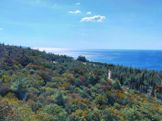
Günümüzde bu alanda bir yabancı mezarlığı bulunmaktadır. Mezarlığa, Kabatepe'den Arı Burnu'na giden asfalt yoldan sağa ayrılan toprak bir yol aracılığıyla ulaşılır.
Ari Burnu
Shell Green
Shell Green is a green open area situated about 1,500 meters south of Ari Burnu and approximately 170 meters from the sea. It was named Shell Green by the occupying forces. Its approximate coordinates are 40°13'32"N 26°16'48"E.
Today, a foreign cemetery stands on this site. Visitors can reach the cemetery via a dirt path branching off to the right from the asphalt road that runs from Kabatepe to Ari Burnu.
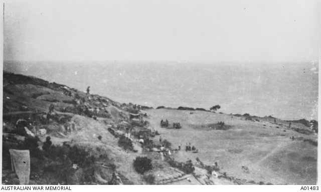
Shell Green üzerinden Ege Denizi'ni ve Seddülbahir yönünü gösteren bir fotoğraf. Günümüz fotoğrafında Shell Green bölgesi, oldukça büyümüş olan ağaçlar nedeniyle tarihi fotoğraftaki kadar kolay seçilemiyor. Fotoğrafın tam ortasındaki kahverengi (ilkbaharda yeşildir) alana bakınız.
A photograph showing the Aegean Sea and the direction of Seddülbahir from Shell Green. In the present-day photograph, the Shell Green area is not as easily distinguishable as in the historical photograph due to the significantly grown trees. Focus on the brown area in the center of the image (green during spring) to locate the original site.
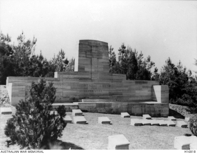
Shell Green Mezarlığı'nın anıtını gösteren tarihi fotoğraf 30.04.1936'da çekilmiştir.
The historical photograph showing the monument of Shell Green Cemetery was taken on April 30, 1936.
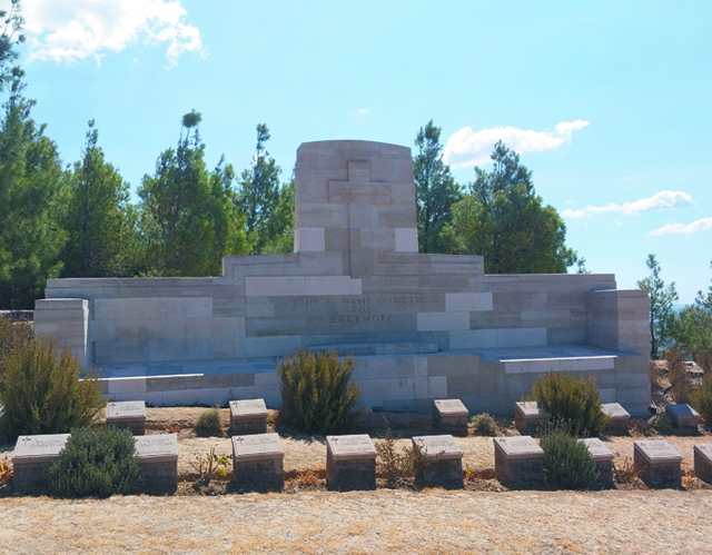
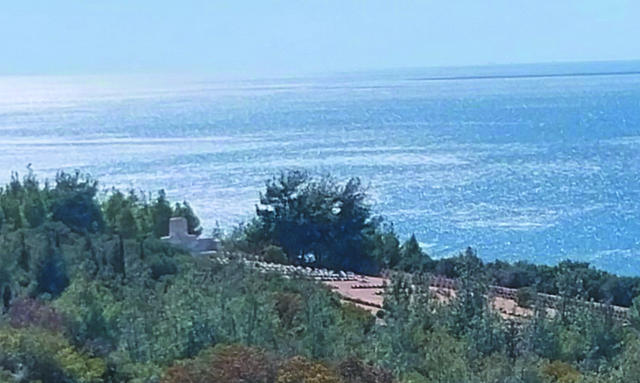
Bölgedeki yoğun ağaçlandırma ve özellikle Shell Green Mezarlığı'nın çevresini saran ağaçlar nedeniyle bu fotoğrafı bir drone olmadan tekrarlamak artık mümkün değildir. Mümkün olan bir açıdan çekilen benzer bir fotoğraf bu şekilde olabilir:
Due to the dense tree coverage in the area, and especially the trees surrounding Shell Green Cemetery, it is no longer possible to replicate this photograph without a drone. A similar photograph taken from the best possible angle could look like this: